 |
|
|
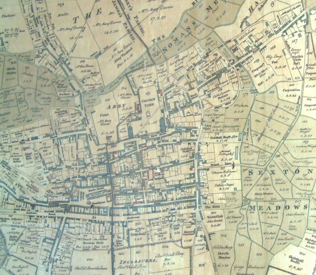
Produced for the parish vestries in 1791
The map in sections |
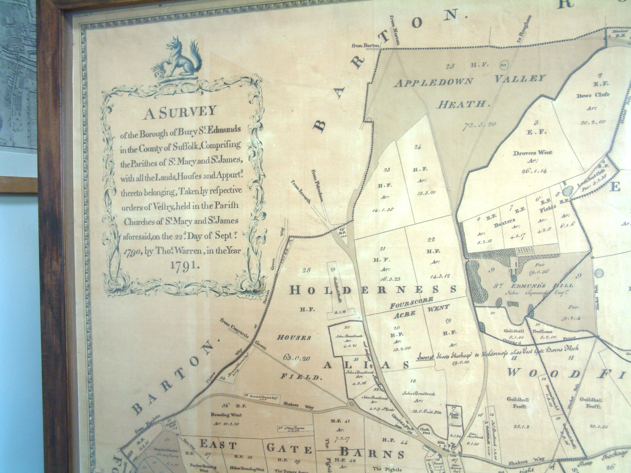 Top left |
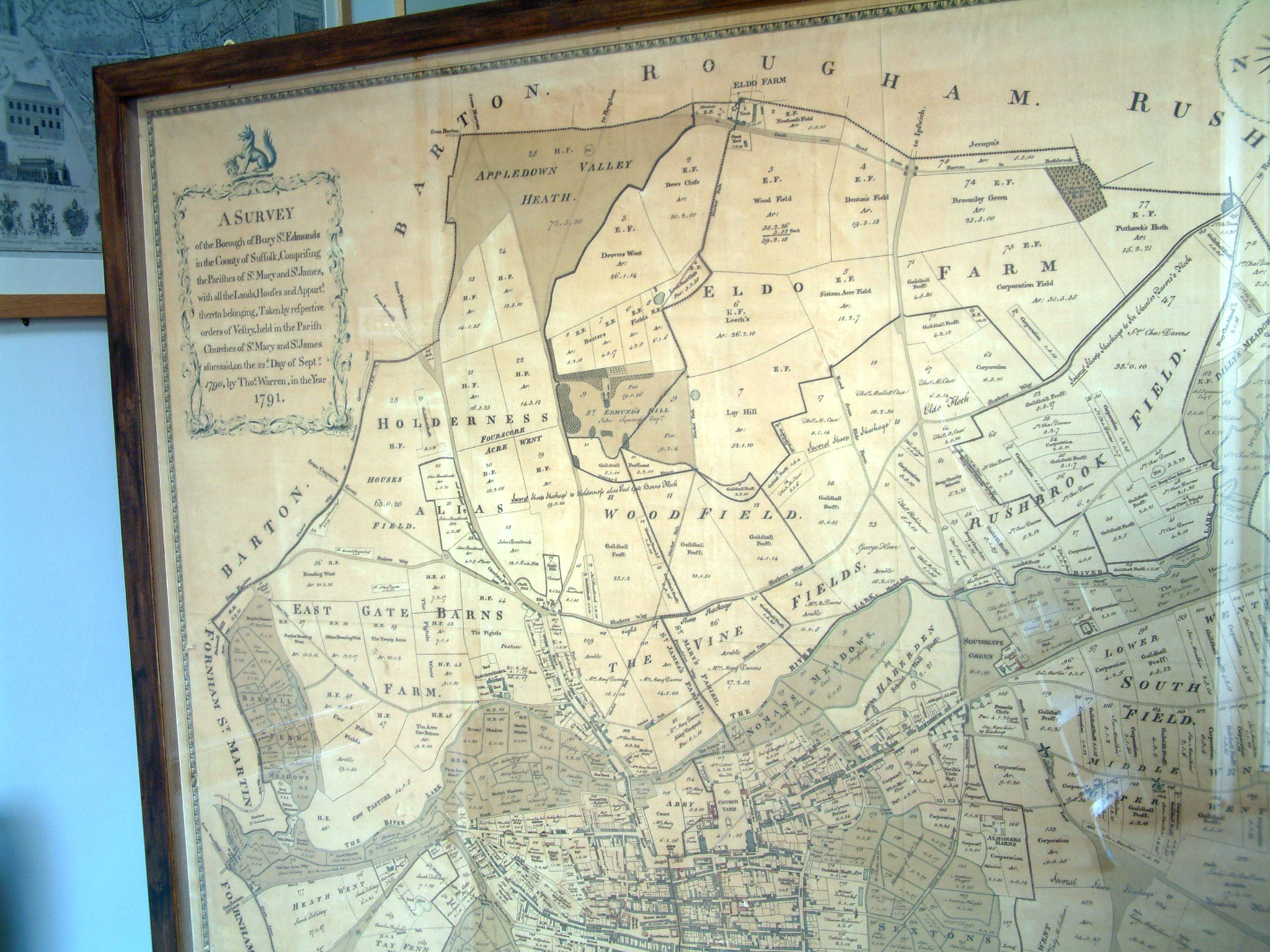 Top middle |
 Top right |
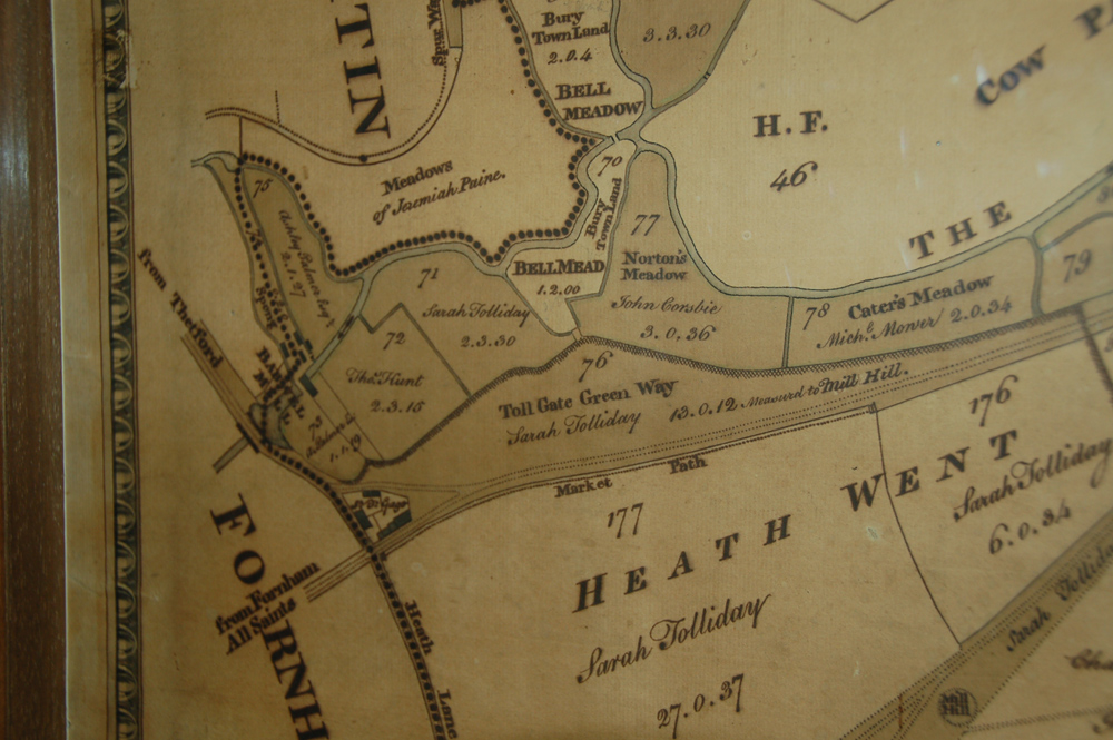
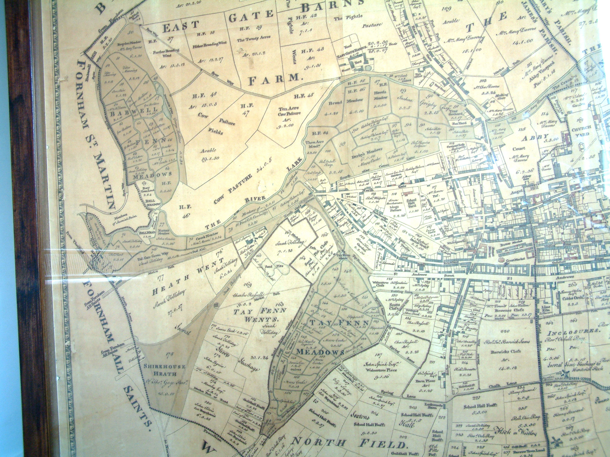 Mid left |
Mid centre |
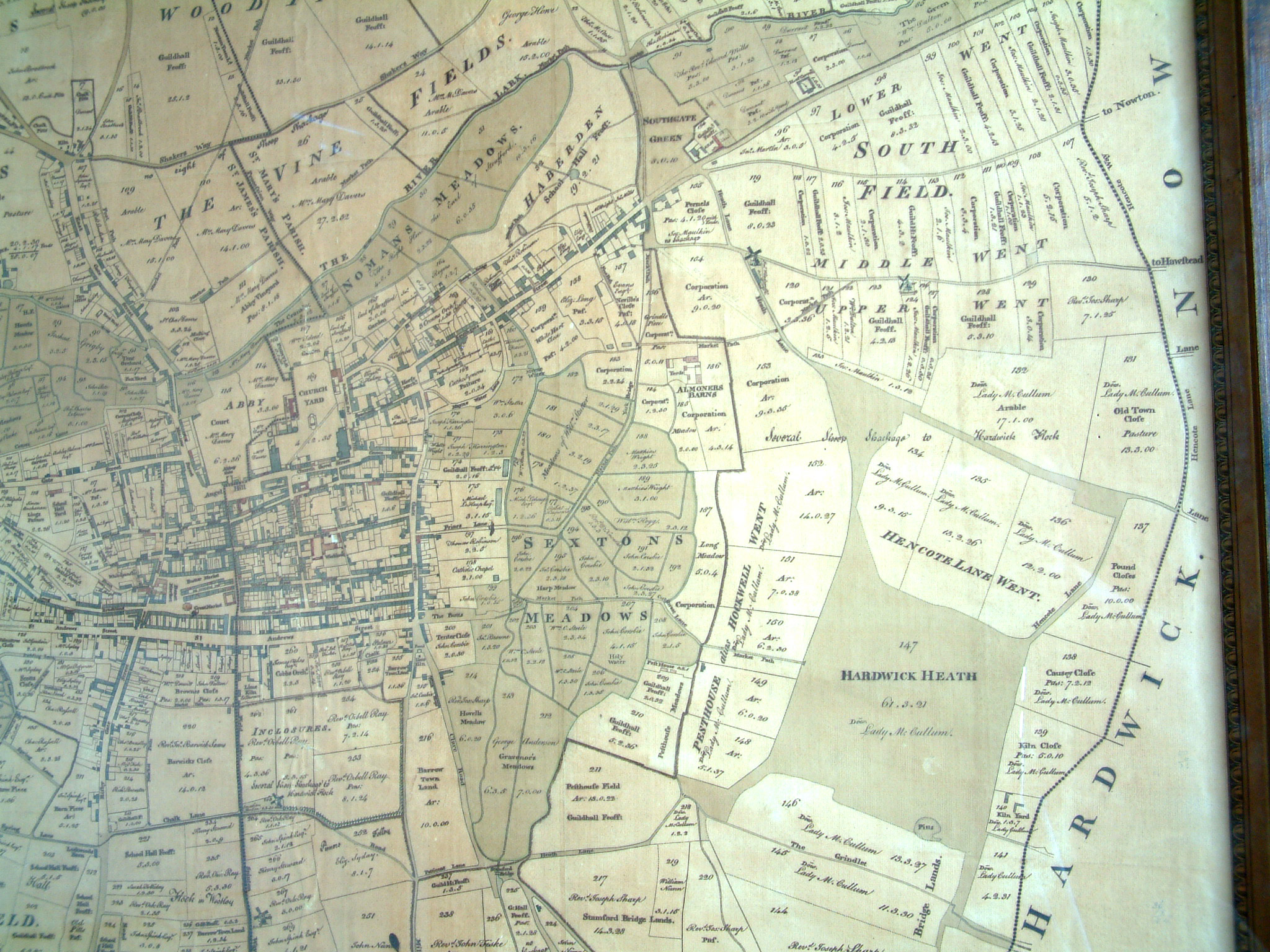 Mid right |
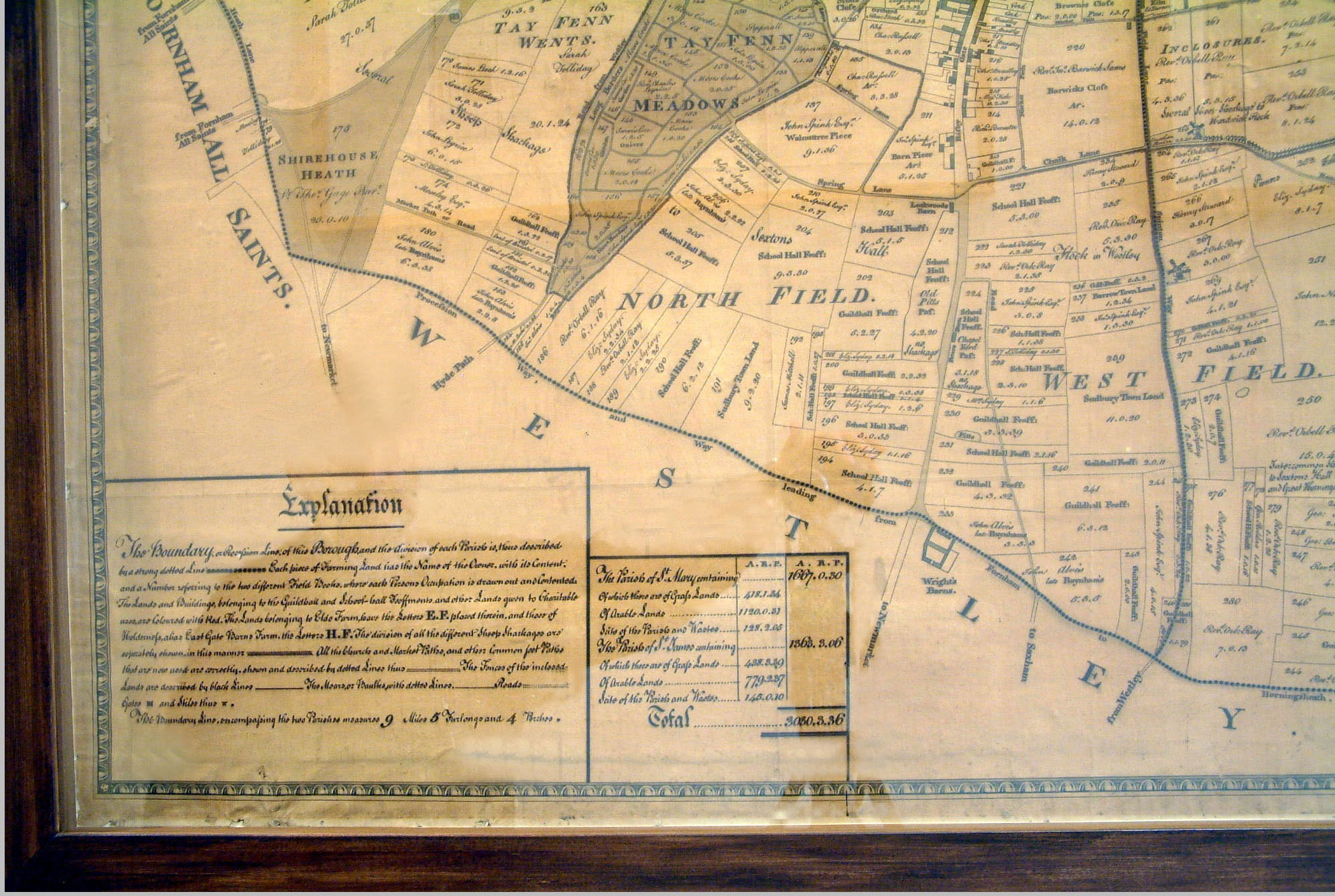 Bottom left |
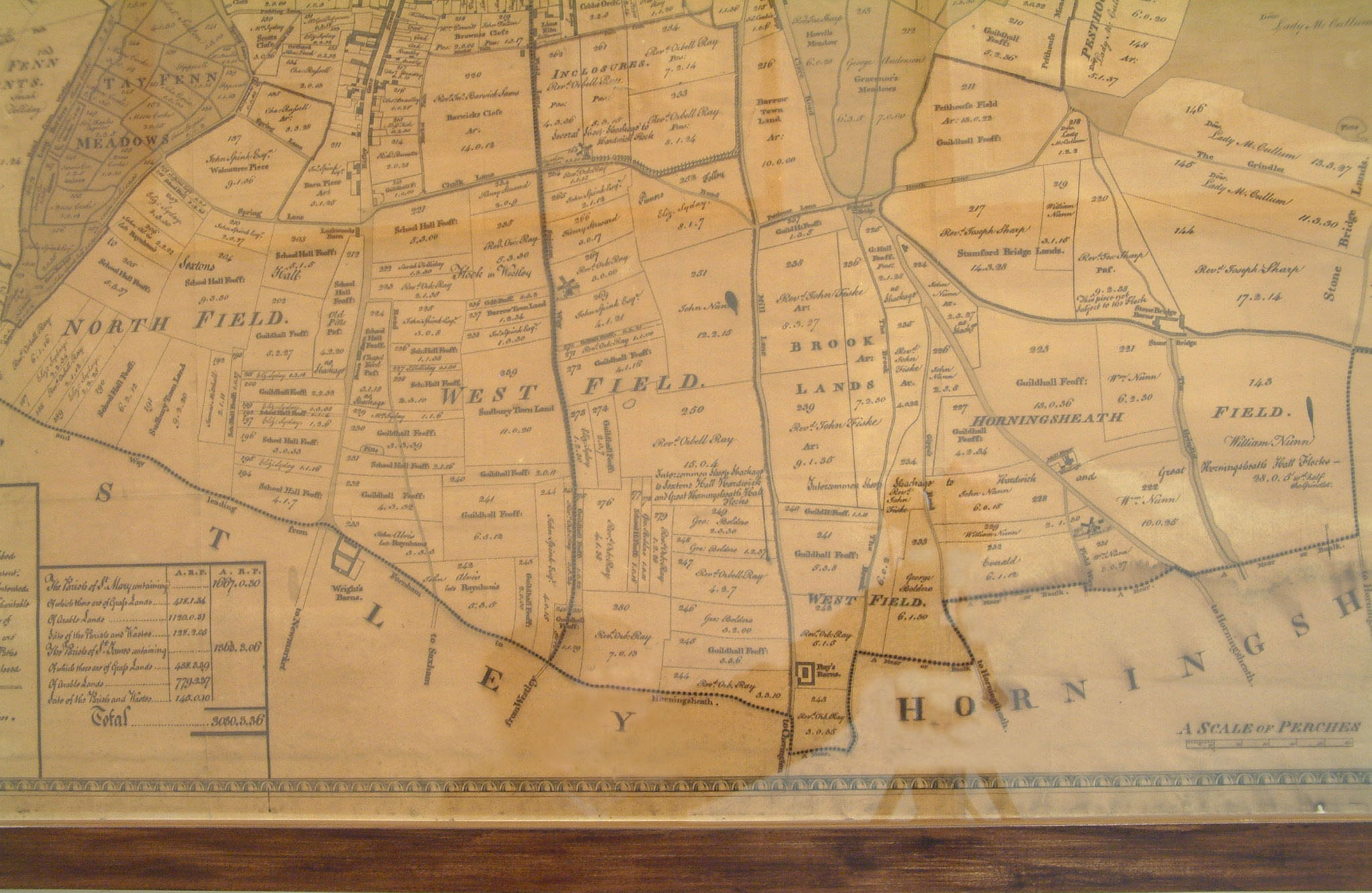 Bottom centre |
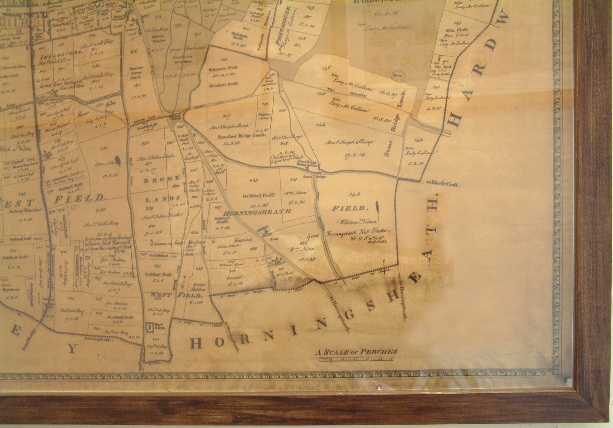 Bottom right |
 Closer View Of Babwell Mill area See Mid left section |
| Go to Maps homepage | Updated 22nd October 2008 | Go to Main Home Page |