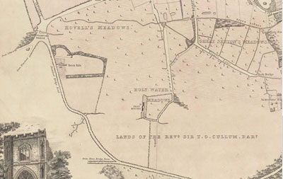
Stamfordbridge brickworks in Vinery Road c1843
|
Stamfordbridge Brick WorksVinery Road, Bury St Edmunds
Stamfordbridge Brickworks in Vinery Road
In the early 19th century Vinery Road was known as Stamford Bridge Road, as shown on Payne's map of Bury St Edmunds, dated 1834, based upon his written survey carried out in 1833.
I was unaware of this largely unrecorded brickworks until I was browsing Payne's map, an extract of which is shown here.
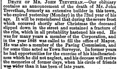
Payne's survey of the town included the facts that John Trevethan also had two hothouses and a melon ground as well as his brick kiln at this location.
The kiln here produced red bricks.
|


